TYPE:
SENSOR
LAYER:
DS_PHR1B_201812081502570_FR1_PX_W072S37_0804_01155
FORMAT:
DIMAP
RASTER:
image/jp2
General Information
Map Name
Geometric Processing Level
Radiometric Processing Level
BASIC
Image dimensions
Number of columns
5538
Number of rows
6360
Number of spectral bands
4
Dataset framing
Vertice
Longitude (DEG)
Latitude (DEG)
Row
Col
#1
-71.45014724376813
-36.80569086266653
1
#2
-71.30564007027833
-36.80741300055865
#3
-71.30838962196491
-36.92990932424247
#4
-71.44933650329601
-36.92785678670916
Dataset sources
PHR
Coordinate Reference System
Projected Coordinate System
Geocoding tables identification
EPSG(6.3)
Production
Production Date
2018-12-13T13:16:11.115
Job identification
3613329101-005
Dataset Producer Identification
AIRBUS DS GEO
Producer link
http://www.geo-airbusds.com
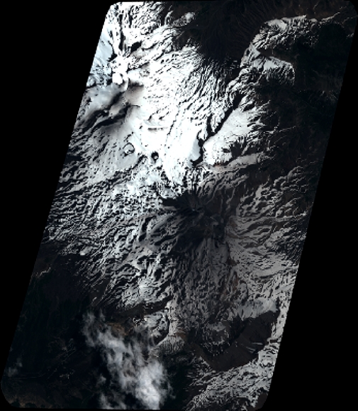
Quicklook
Copyright