TYPE:
SENSOR
LAYER:
DS_PHR1B_201812040215266_FR1_PX_E124S09_0821_01114
FORMAT:
DIMAP
RASTER:
image/jp2
General Information
Map Name
Geometric Processing Level
Radiometric Processing Level
BASIC
Image dimensions
Number of columns
16253
Number of rows
24401
Number of spectral bands
1
Dataset framing
Vertice
Longitude (DEG)
Latitude (DEG)
Row
Col
#1
124.5442343492605
-8.111123984341543
#2
124.6277197678832
-8.106889803628151
#3
124.6258283642148
-8.225361154663299
#4
124.5440547125884
-8.228341519896874
Dataset sources
PHR
Coordinate Reference System
Projected Coordinate System
Geocoding tables identification
EPSG(6.3)
Production
Production Date
2018-12-13T12:04:42.157
Job identification
3613281101-003
Dataset Producer Identification
AIRBUS DS GEO
Producer link
http://www.geo-airbusds.com
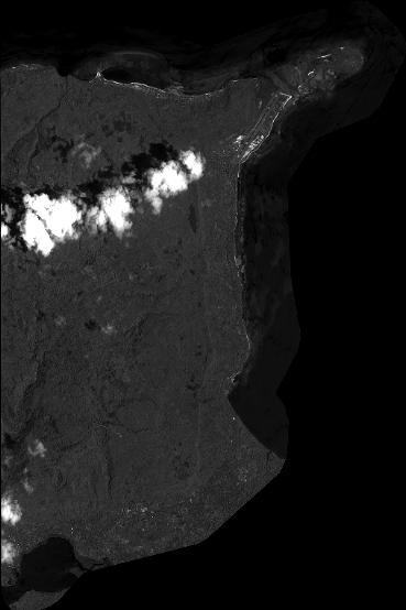
Quicklook
Copyright