TYPE:
SENSOR
LAYER:
DS_PHR1A_201811272257570_FR1_PX_E167S23_0710_03312
FORMAT:
DIMAP
RASTER:
image/tiff
General Information
Map Name
Geometric Processing Level
Radiometric Processing Level
BASIC
Image dimensions
Number of columns
40000
Number of rows
74104
Number of spectral bands
1
Dataset framing
Vertice
Longitude (DEG)
Latitude (DEG)
Row
Col
#1
167.3958242014277
-22.42676914753974
#2
167.6144396097702
-22.4351666616997
#3
167.6139477995315
-22.78661894557595
#4
167.3965409941086
-22.78168382405475
Dataset sources
PHR
Coordinate Reference System
Projected Coordinate System
Geocoding tables identification
EPSG(6.3)
Production
Production Date
2020-08-28T23:47:51.129
Job identification
5289775101-1
Dataset Producer Identification
AIRBUS DS GEO
Producer link
http://www.geo-airbusds.com
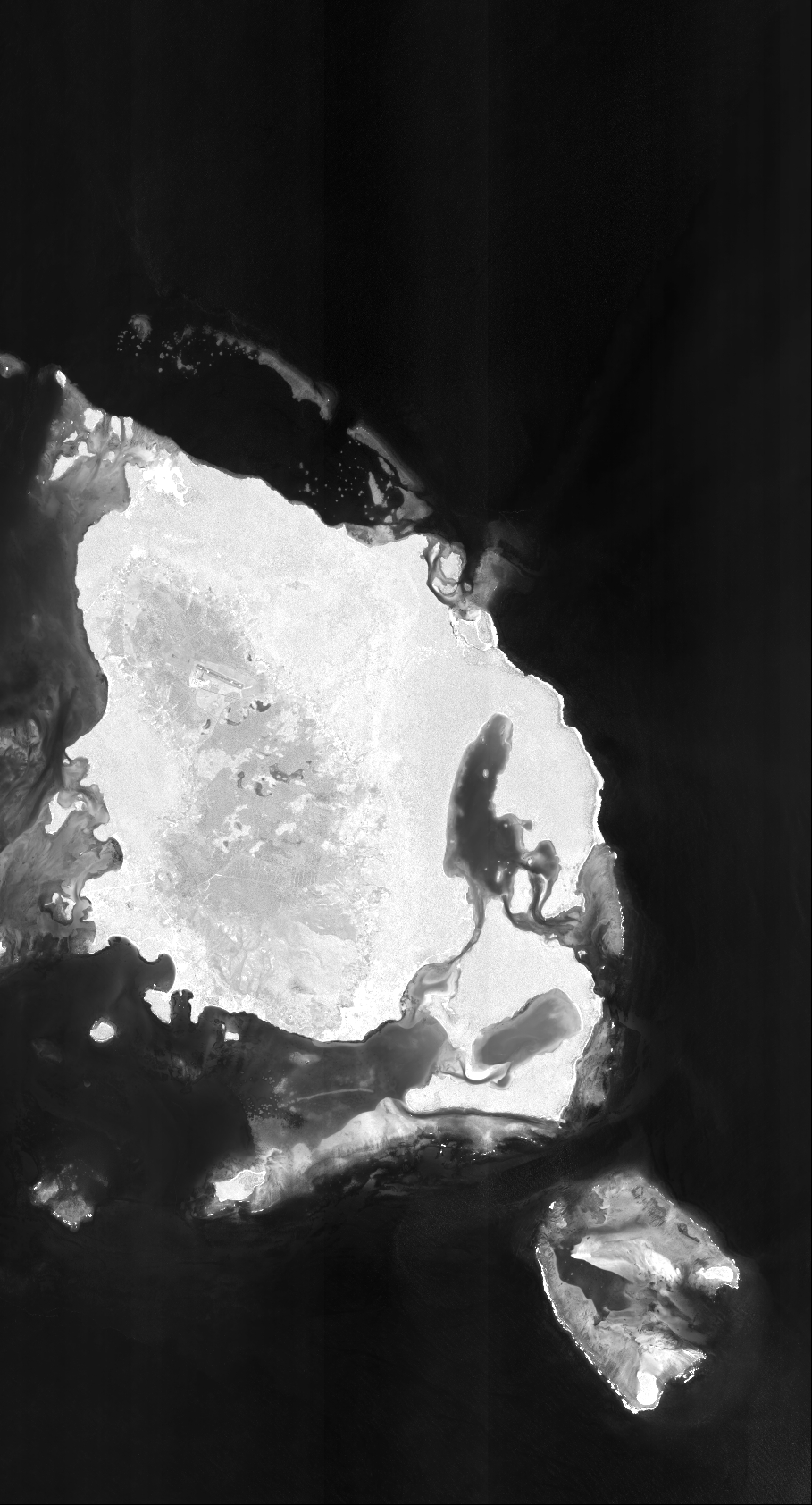
Quicklook
Copyright