TYPE:
SENSOR
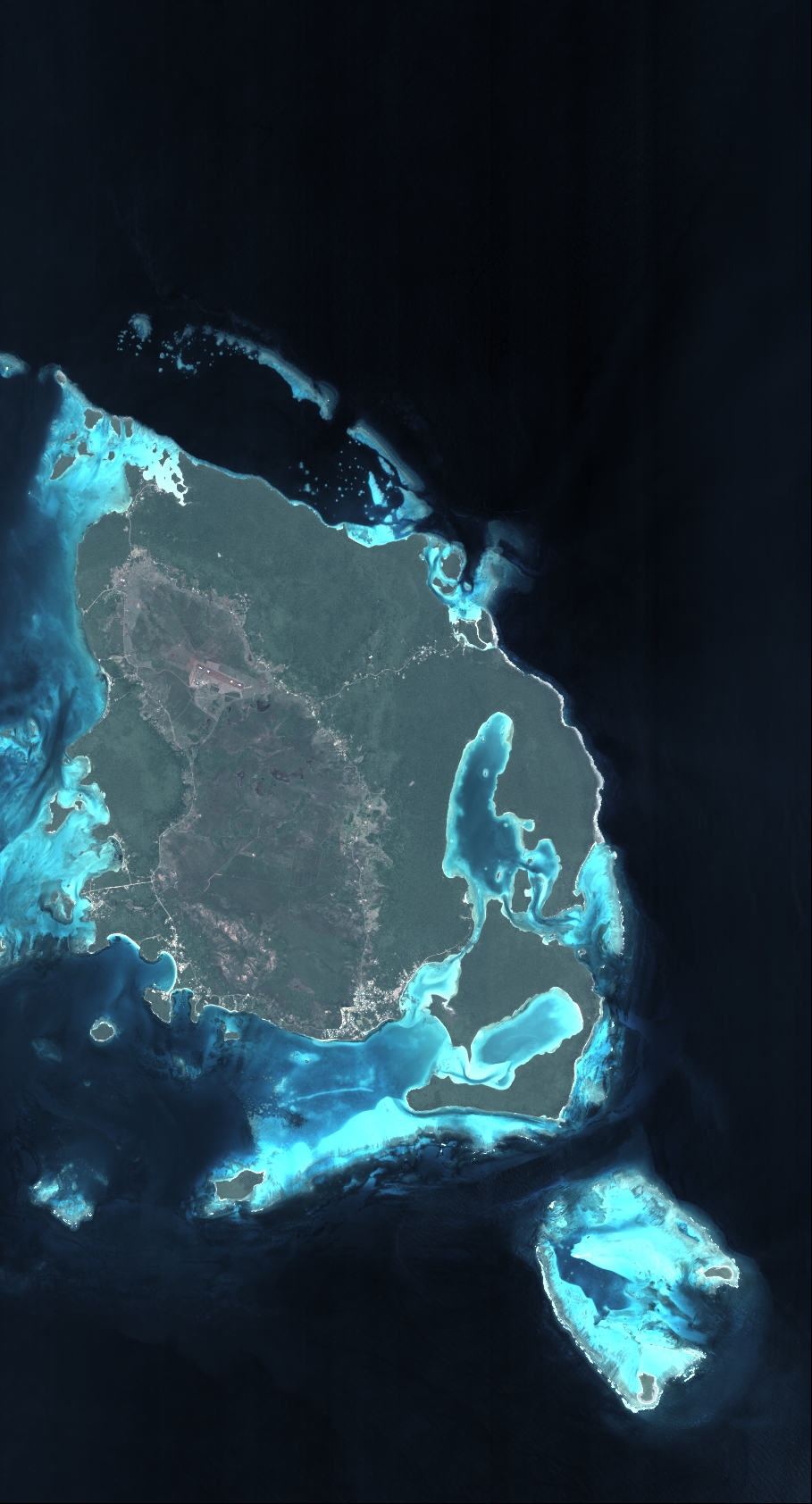
LAYER:
DS_PHR1A_201811272257570_FR1_PX_E167S23_0710_03312
FORMAT:
DIMAP
RASTER:
image/tiff
General Information
Map Name
Geometric Processing Level
Radiometric Processing Level
BASIC
Image dimensions
Number of columns
10000
Number of rows
18526
Number of spectral bands
4
Dataset framing
Vertice
Longitude (DEG)
Latitude (DEG)
Row
Col
#1
167.3958324276889
-22.42677665719951
1
#2
167.6144314162143
-22.43517347081587
#3
167.6139396574318
-22.78661165871873
#4
167.3965491320826
-22.78167683829962
Dataset sources
PHR
Coordinate Reference System
Projected Coordinate System
Geocoding tables identification
EPSG(6.3)
Production
Production Date
2020-08-28T23:46:49.498
Job identification
5289775101-2
Dataset Producer Identification
AIRBUS DS GEO
Producer link
http://www.geo-airbusds.com
Quicklook
Copyright