TYPE:
SENSOR
LAYER:
DS_PHR1A_201811091009303_FR1_PX_E010N36_1119_02411
FORMAT:
DIMAP
RASTER:
image/jp2
General Information
Map Name
Geometric Processing Level
Radiometric Processing Level
BASIC
Image dimensions
Number of columns
36066
Number of rows
53788
Number of spectral bands
1
Dataset framing
Vertice
Longitude (DEG)
Latitude (DEG)
Row
Col
#1
10.79025152323332
36.90343833862292
#2
10.99804688048023
36.90211655594064
#3
10.99756776493613
36.64881028743658
#4
10.79072744011765
36.64968433976269
Dataset sources
PHR
Coordinate Reference System
Projected Coordinate System
Geocoding tables identification
EPSG(6.3)
Production
Production Date
2018-11-13T11:26:58.914
Job identification
3472638101-002
Dataset Producer Identification
AIRBUS DS GEO
Producer link
http://www.geo-airbusds.com
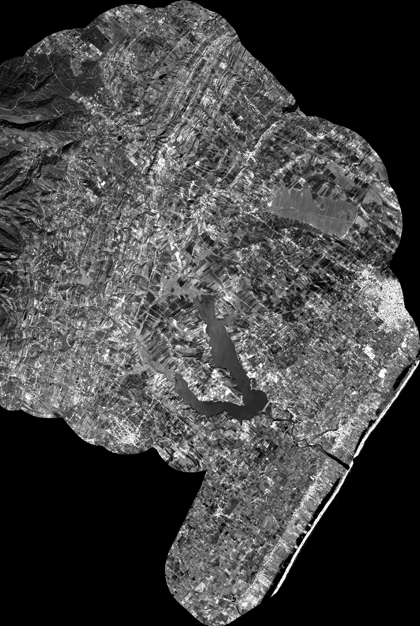
Quicklook
Copyright