TYPE:
ORTHO
LAYER:
DS_PHR1A_201805301010099_FR1_PX_E012N46_0801_00589
FORMAT:
DIMAP
RASTER:
image/jp2
General Information
Map Name
Geometric Processing Level
Radiometric Processing Level
BASIC
Image dimensions
Number of columns
30877
Number of rows
14208
Number of spectral bands
4
Dataset framing
Vertice
Longitude (DEG)
Latitude (DEG)
Row
Col
#1
12.49180357618238
46.05798996621868
1
#2
12.69121729349002
46.06219446617353
#3
12.69387701272058
45.99831277949272
#4
12.49469245726685
45.99411758722178
Dataset sources
PHR
Coordinate Reference System
Projected Coordinate System
Geocoding tables identification
EPSG(6.3)
Projected Coordinate System name
32633
Projected Coordinate System code
urn:ogc:def:crs:EPSG::32633
Geoposition
Upper - Left Map X Coordinate
305989.75
Upper - Left Map Y Coordinate
5103549.25
Image sampling
0.5 x 0.5
Production
Production Date
2020-09-03T06:56:57.710
Job identification
5299664101
Dataset Producer Identification
AIRBUS DS GEO
Producer link
http://www.geo-airbusds.com
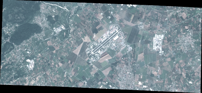
Quicklook
Copyright