TYPE:
SENSOR
LAYER:
DS_PHR1B_201710271102241_FR1_PX_E000N49_0317_02476
FORMAT:
DIMAP
RASTER:
image/jp2
General Information
Map Name
Geometric Processing Level
Radiometric Processing Level
BASIC
Image dimensions
Number of columns
10000
Number of rows
13794
Number of spectral bands
4
Dataset framing
Vertice
Longitude (DEG)
Latitude (DEG)
Row
Col
#1
0.09008582512041385
49.79233622464881
1
#2
0.3826989646312377
49.79672185403367
#3
0.3818603687117939
49.54247030587464
#4
0.09179702823268504
49.5365366066361
Dataset sources
PHR
Coordinate Reference System
Projected Coordinate System
Geocoding tables identification
EPSG(6.3)
Production
Production Date
2017-11-17T09:03:43.722
Job identification
2543197101-002
Dataset Producer Identification
AIRBUS DS GEO
Producer link
http://www.geo-airbusds.com
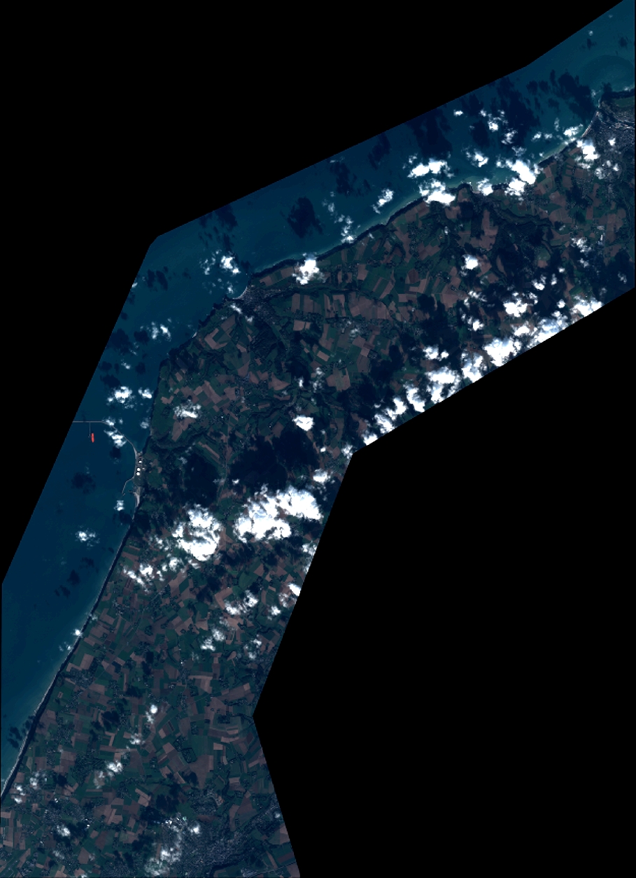
Quicklook
Copyright