TYPE:
SENSOR
LAYER:
DS_PHR1A_201710261111203_FR1_PX_W002N45_1117_02560
FORMAT:
DIMAP
RASTER:
image/jp2
General Information
Map Name
Geometric Processing Level
Radiometric Processing Level
BASIC
Image dimensions
Number of columns
10000
Number of rows
14294
Number of spectral bands
4
Dataset framing
Vertice
Longitude (DEG)
Latitude (DEG)
Row
Col
#1
-1.246321492533414
45.81640481671592
1
#2
-0.9845105938847949
45.81897985807582
#3
-0.9849192436892764
45.55898581016126
#4
-1.246054247800652
45.55722469504705
Dataset sources
PHR
Coordinate Reference System
Projected Coordinate System
Geocoding tables identification
EPSG(6.3)
Production
Production Date
2017-10-27T15:48:11.227
Job identification
2521441101-004
Dataset Producer Identification
AIRBUS DS GEO
Producer link
http://www.geo-airbusds.com
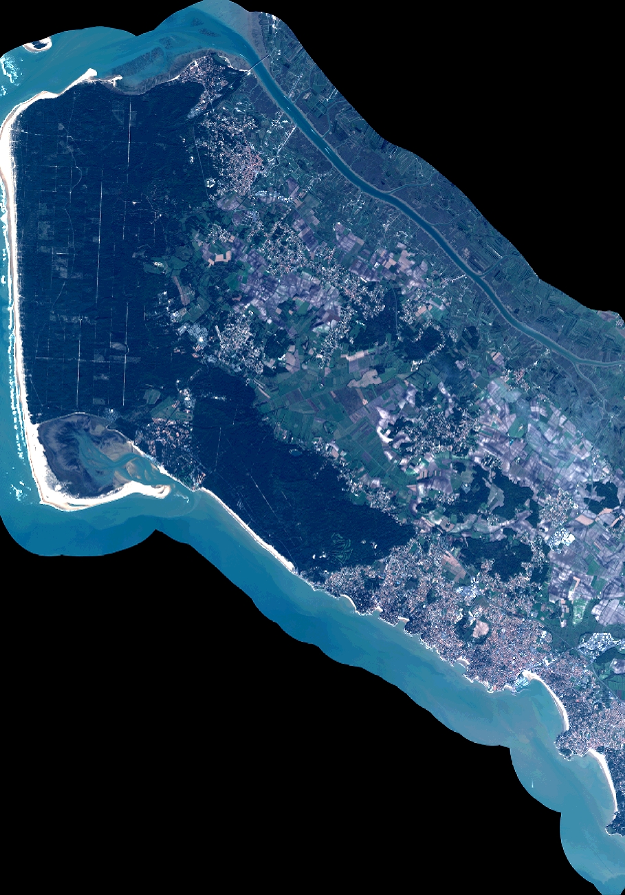
Quicklook
Copyright