TYPE:
SENSOR
LAYER:
DS_PHR1A_201710261110450_FR1_PX_W002N45_1117_02446
FORMAT:
DIMAP
RASTER:
image/jp2
General Information
Map Name
Geometric Processing Level
Radiometric Processing Level
BASIC
Image dimensions
Number of columns
9959
Number of rows
13653
Number of spectral bands
4
Dataset framing
Vertice
Longitude (DEG)
Latitude (DEG)
Row
Col
#1
-1.247690459788074
45.81753908594722
1
#2
-0.9838181426626277
45.81709278036681
#3
-0.9843238400535071
45.55882389667531
#4
-1.247205315590334
45.55936453228572
Dataset sources
PHR
Coordinate Reference System
Projected Coordinate System
Geocoding tables identification
EPSG(6.3)
Production
Production Date
2017-10-27T15:47:32.842
Job identification
2521441101-003
Dataset Producer Identification
AIRBUS DS GEO
Producer link
http://www.geo-airbusds.com
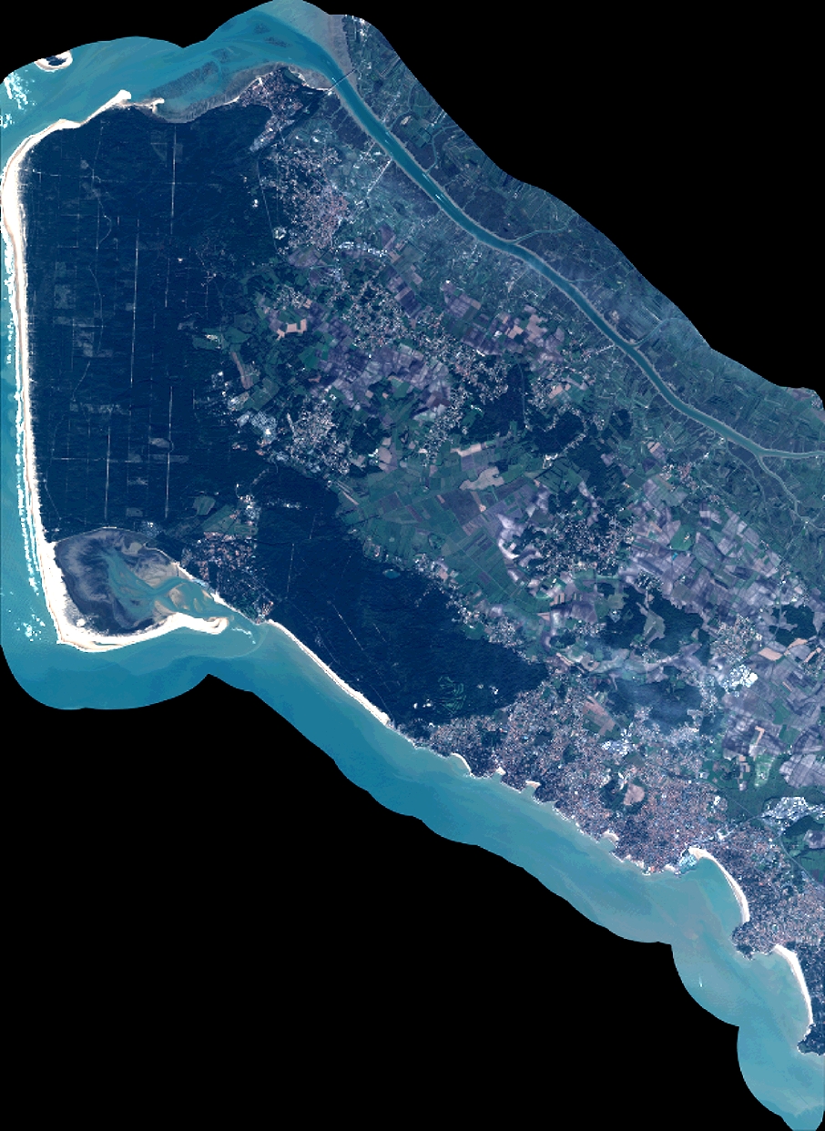
Quicklook
Copyright