TYPE:
SENSOR
LAYER:
DS_PHR1A_201710141102105_FR1_PX_E000N49_0620_01776
FORMAT:
DIMAP
RASTER:
image/jp2
General Information
Map Name
Geometric Processing Level
Radiometric Processing Level
BASIC
Image dimensions
Number of columns
39847
Number of rows
39509
Number of spectral bands
1
Dataset framing
Vertice
Longitude (DEG)
Latitude (DEG)
Row
Col
#1
0.3271844017889727
49.88080971864736
#2
0.6185517824560161
49.88597064784235
#3
0.6179819288363253
49.70294147132159
#4
0.3284677157464591
49.69680897486843
Dataset sources
PHR
Coordinate Reference System
Projected Coordinate System
Geocoding tables identification
EPSG(6.3)
Production
Production Date
2017-11-17T09:05:30.114
Job identification
2543198101-001
Dataset Producer Identification
AIRBUS DS GEO
Producer link
http://www.geo-airbusds.com
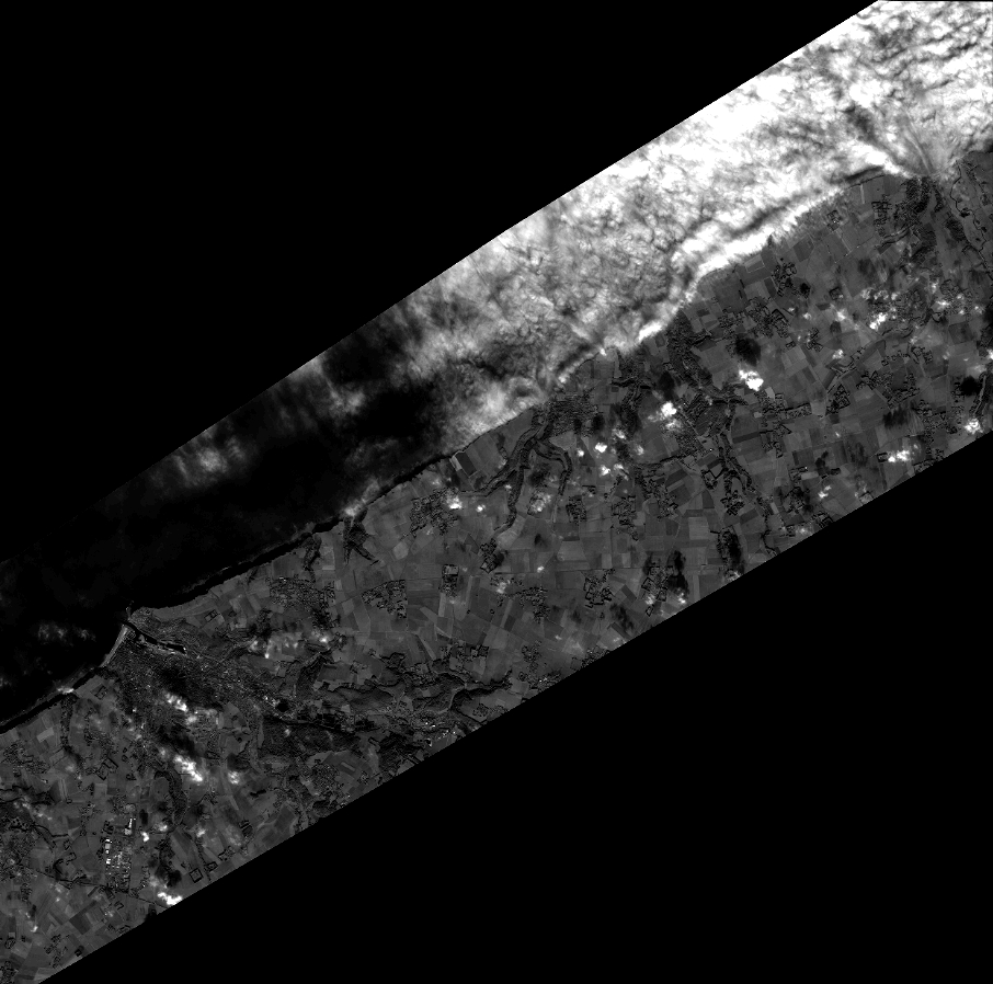
Quicklook
Copyright