TYPE:
SENSOR
LAYER:
DS_PHR1A_201710141102105_FR1_PX_E000N49_0620_01776
FORMAT:
DIMAP
RASTER:
image/jp2
General Information
Map Name
Geometric Processing Level
Radiometric Processing Level
BASIC
Image dimensions
Number of columns
9963
Number of rows
9877
Number of spectral bands
4
Dataset framing
Vertice
Longitude (DEG)
Latitude (DEG)
Row
Col
#1
0.3271750524358167
49.88079858362283
1
#2
0.6185569683756619
49.88595647761434
#3
0.6179892678767686
49.70294332620218
#4
0.3284602940703184
49.69681383759933
Dataset sources
PHR
Coordinate Reference System
Projected Coordinate System
Geocoding tables identification
EPSG(6.3)
Production
Production Date
2017-11-17T09:05:18.456
Job identification
2543198101-002
Dataset Producer Identification
AIRBUS DS GEO
Producer link
http://www.geo-airbusds.com
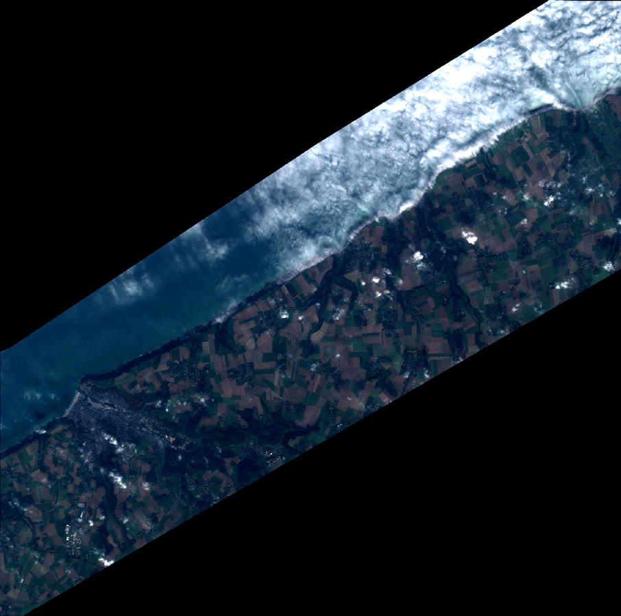
Quicklook
Copyright