TYPE:
SENSOR
LAYER:
DS_PHR1B_201710131110058_FR1_PX_W001N49_1007_01235
FORMAT:
DIMAP
RASTER:
image/jp2
General Information
Map Name
Geometric Processing Level
Radiometric Processing Level
BASIC
Image dimensions
Number of columns
39983
Number of rows
27240
Number of spectral bands
1
Dataset framing
Vertice
Longitude (DEG)
Latitude (DEG)
Row
Col
#1
-0.3758129448736162
49.3510051492489
#2
-0.09679715816649803
49.35191910655399
#3
-0.0971946128649373
49.2277028123406
#4
-0.3754003400198007
49.22673954266761
Dataset sources
PHR
Coordinate Reference System
Projected Coordinate System
Geocoding tables identification
EPSG(6.3)
Production
Production Date
2017-11-17T09:02:42.116
Job identification
2543200101-001
Dataset Producer Identification
AIRBUS DS GEO
Producer link
http://www.geo-airbusds.com
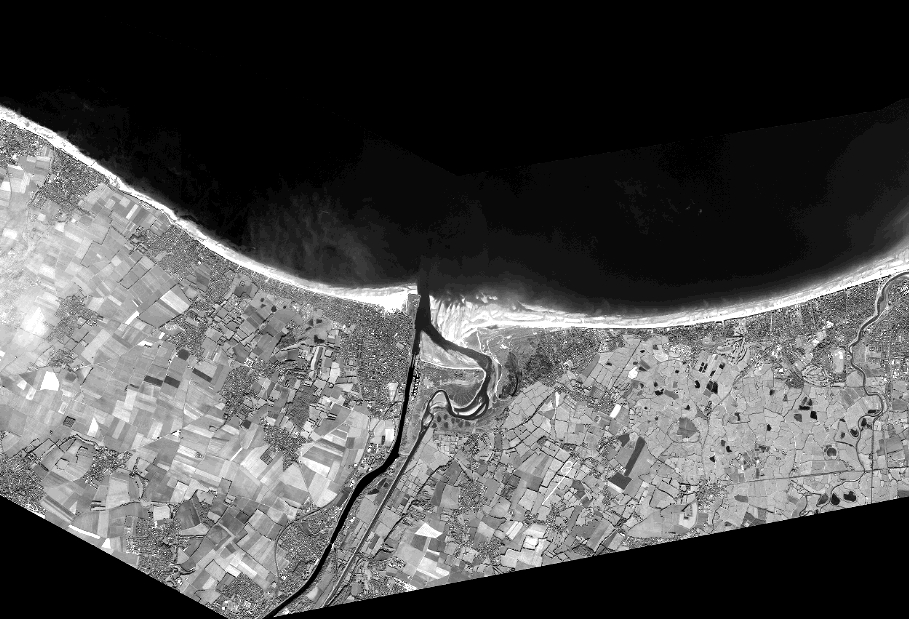
Quicklook
Copyright