TYPE:
SENSOR
LAYER:
DS_PHR1B_201710131110058_FR1_PX_W001N49_1007_01235
FORMAT:
DIMAP
RASTER:
image/jp2
General Information
Map Name
Geometric Processing Level
Radiometric Processing Level
BASIC
Image dimensions
Number of columns
9996
Number of rows
6810
Number of spectral bands
4
Dataset framing
Vertice
Longitude (DEG)
Latitude (DEG)
Row
Col
#1
-0.3758024827273113
49.35099833347132
1
#2
-0.09680070138273145
49.35191224365093
#3
-0.09719805123765046
49.22770963341913
#4
-0.3753899076225108
49.22674640903737
Dataset sources
PHR
Coordinate Reference System
Projected Coordinate System
Geocoding tables identification
EPSG(6.3)
Production
Production Date
2017-11-17T09:02:55.924
Job identification
2543200101-002
Dataset Producer Identification
AIRBUS DS GEO
Producer link
http://www.geo-airbusds.com
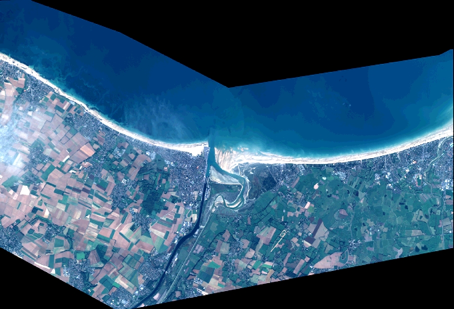
Quicklook
Copyright