TYPE:
SENSOR
LAYER:
DS_PHR1B_201710131110141_FR1_PX_W001N49_0708_01337
FORMAT:
DIMAP
RASTER:
image/jp2
General Information
Map Name
Geometric Processing Level
Radiometric Processing Level
BASIC
Image dimensions
Number of columns
39981
Number of rows
29536
Number of spectral bands
1
Dataset framing
Vertice
Longitude (DEG)
Latitude (DEG)
Row
Col
#1
-0.6109743355934489
49.37300366132973
#2
-0.3341656254328196
49.37337232577998
#3
-0.3345867724445385
49.24109832413396
#4
-0.6105023694080177
49.24060638841268
Dataset sources
PHR
Coordinate Reference System
Projected Coordinate System
Geocoding tables identification
EPSG(6.3)
Production
Production Date
2017-11-17T09:02:33.854
Job identification
2543199101-001
Dataset Producer Identification
AIRBUS DS GEO
Producer link
http://www.geo-airbusds.com
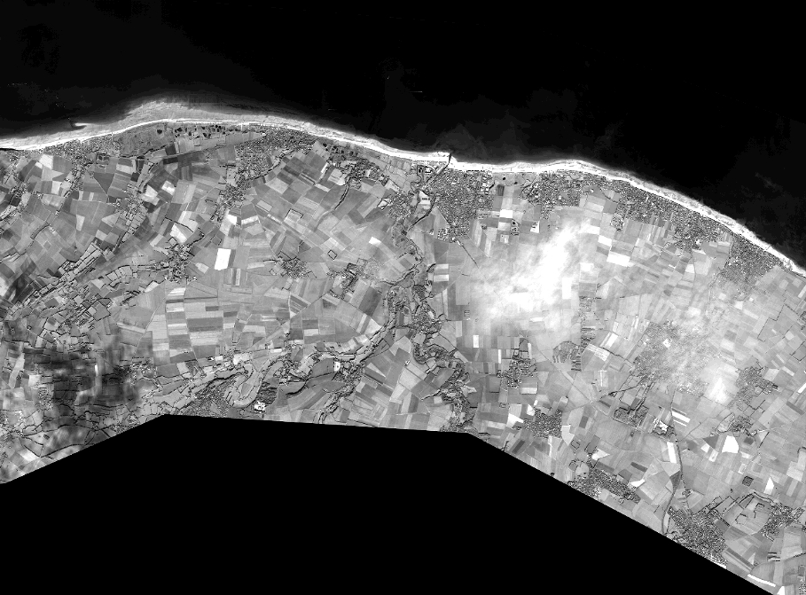
Quicklook
Copyright