TYPE:
SENSOR
LAYER:
DS_PHR1B_201709241105545_FR1_PX_E001N50_0923_01568
FORMAT:
DIMAP
RASTER:
image/jp2
General Information
Map Name
Geometric Processing Level
Radiometric Processing Level
BASIC
Image dimensions
Number of columns
9995
Number of rows
8684
Number of spectral bands
4
Dataset framing
Vertice
Longitude (DEG)
Latitude (DEG)
Row
Col
#1
1.605594246063655
50.9963049245605
1
#2
1.892118967311651
50.99607378880081
#3
1.891703685412968
50.83997044379388
#4
1.606070093558929
50.84029722803078
Dataset sources
PHR
Coordinate Reference System
Projected Coordinate System
Geocoding tables identification
EPSG(6.3)
Production
Production Date
2017-11-17T09:03:50.155
Job identification
2543201101-002
Dataset Producer Identification
AIRBUS DS GEO
Producer link
http://www.geo-airbusds.com
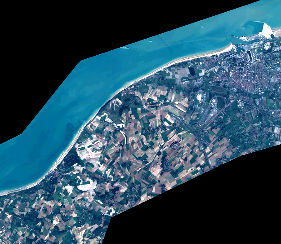
Quicklook
Copyright