TYPE:
SENSOR
LAYER:
DS_PHR1A_201709231113531_FR1_PX_E000N49_0108_01488
FORMAT:
DIMAP
RASTER:
image/jp2
General Information
Map Name
Geometric Processing Level
Radiometric Processing Level
BASIC
Image dimensions
Number of columns
39856
Number of rows
33048
Number of spectral bands
1
Dataset framing
Vertice
Longitude (DEG)
Latitude (DEG)
Row
Col
#1
-0.1396533244672876
49.39725560931841
#2
0.1399888425526114
49.39622047671283
#3
0.1398686331737104
49.246907935598
#4
-0.1394952997908118
49.24852604142077
Dataset sources
PHR
Coordinate Reference System
Projected Coordinate System
Geocoding tables identification
EPSG(6.3)
Production
Production Date
2017-11-17T09:06:27.360
Job identification
2543202101-001
Dataset Producer Identification
AIRBUS DS GEO
Producer link
http://www.geo-airbusds.com
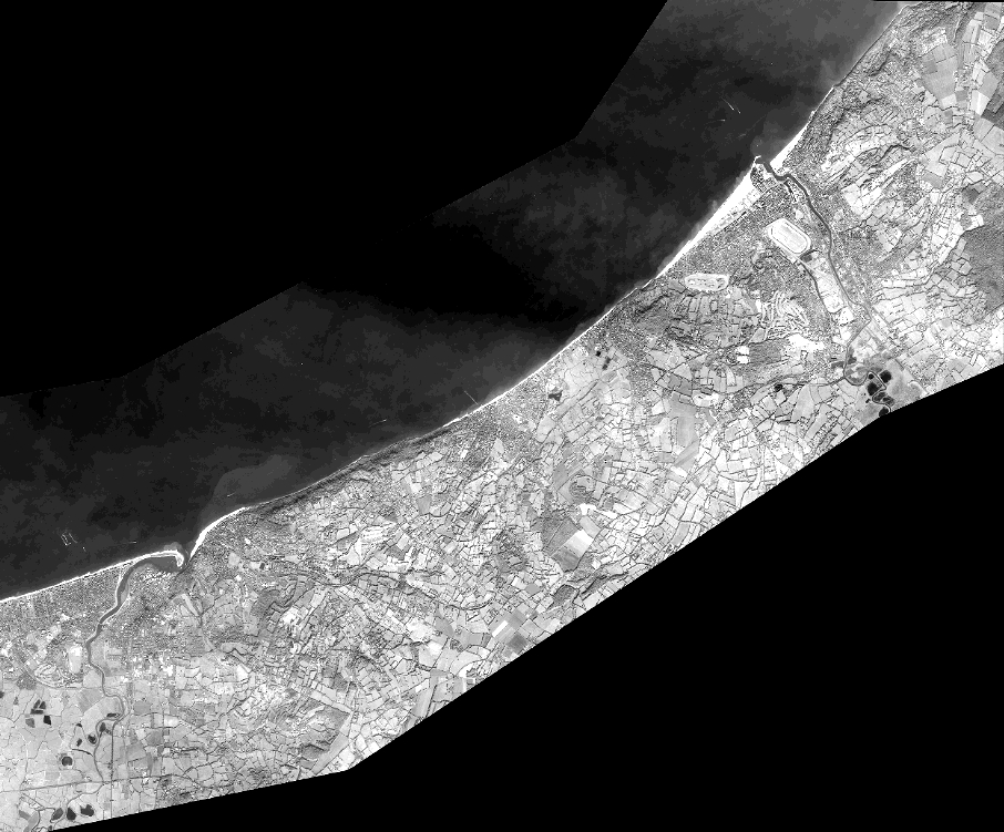
Quicklook
Copyright