TYPE:
SENSOR
LAYER:
DS_PHR1A_201709231113531_FR1_PX_E000N49_0108_01488
FORMAT:
DIMAP
RASTER:
image/jp2
General Information
Map Name
Geometric Processing Level
Radiometric Processing Level
BASIC
Image dimensions
Number of columns
9965
Number of rows
8262
Number of spectral bands
4
Dataset framing
Vertice
Longitude (DEG)
Latitude (DEG)
Row
Col
#1
-0.1396432017858979
49.39724676453563
1
#2
0.140006536782096
49.39621278246632
#3
0.1398860439590918
49.24691363318553
#4
-0.1394849399680429
49.24853041123976
Dataset sources
PHR
Coordinate Reference System
Projected Coordinate System
Geocoding tables identification
EPSG(6.3)
Production
Production Date
2017-11-17T09:06:13.399
Job identification
2543202101-002
Dataset Producer Identification
AIRBUS DS GEO
Producer link
http://www.geo-airbusds.com
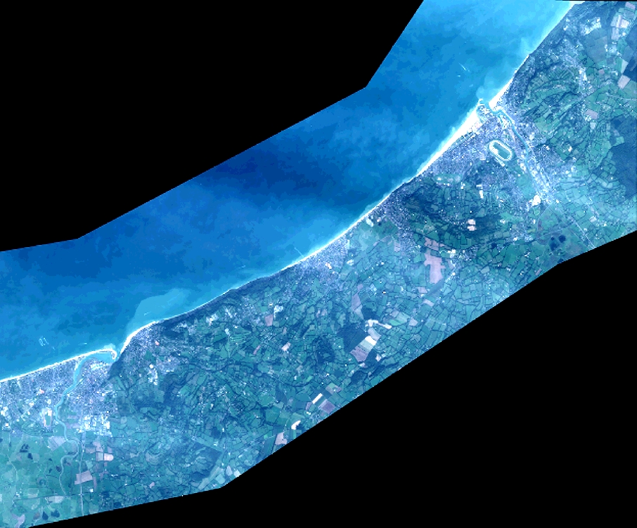
Quicklook
Copyright