TYPE:
SENSOR
LAYER:
DS_PHR1B_201708291105544_FR1_PX_E001N50_0806_02905
FORMAT:
DIMAP
RASTER:
image/jp2
General Information
Map Name
Geometric Processing Level
Radiometric Processing Level
BASIC
Image dimensions
Number of columns
36014
Number of rows
64832
Number of spectral bands
1
Dataset framing
Vertice
Longitude (DEG)
Latitude (DEG)
Row
Col
#1
1.511990406049485
50.36725610946316
#2
1.767414114794093
50.36684020777918
#3
1.766820234511687
50.07361116208858
#4
1.512727309050603
50.07432572209605
Dataset sources
PHR
Coordinate Reference System
Projected Coordinate System
Geocoding tables identification
EPSG(6.3)
Production
Production Date
2017-11-17T09:10:22.083
Job identification
2543204101-001
Dataset Producer Identification
AIRBUS DS GEO
Producer link
http://www.geo-airbusds.com
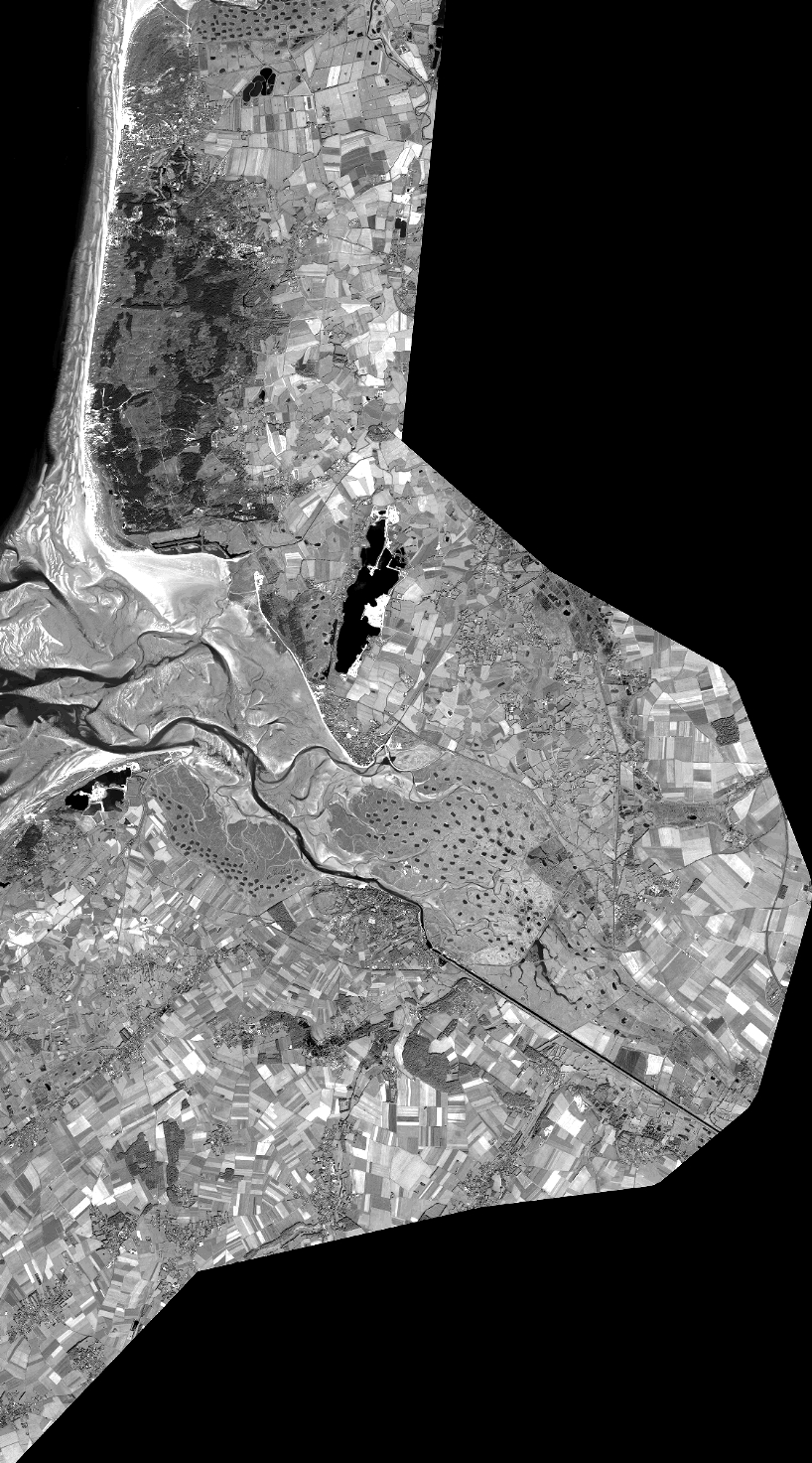
Quicklook
Copyright