TYPE:
SENSOR
LAYER:
DS_PHR1B_201708291105544_FR1_PX_E001N50_0806_02905
FORMAT:
DIMAP
RASTER:
image/jp2
General Information
Map Name
Geometric Processing Level
Radiometric Processing Level
BASIC
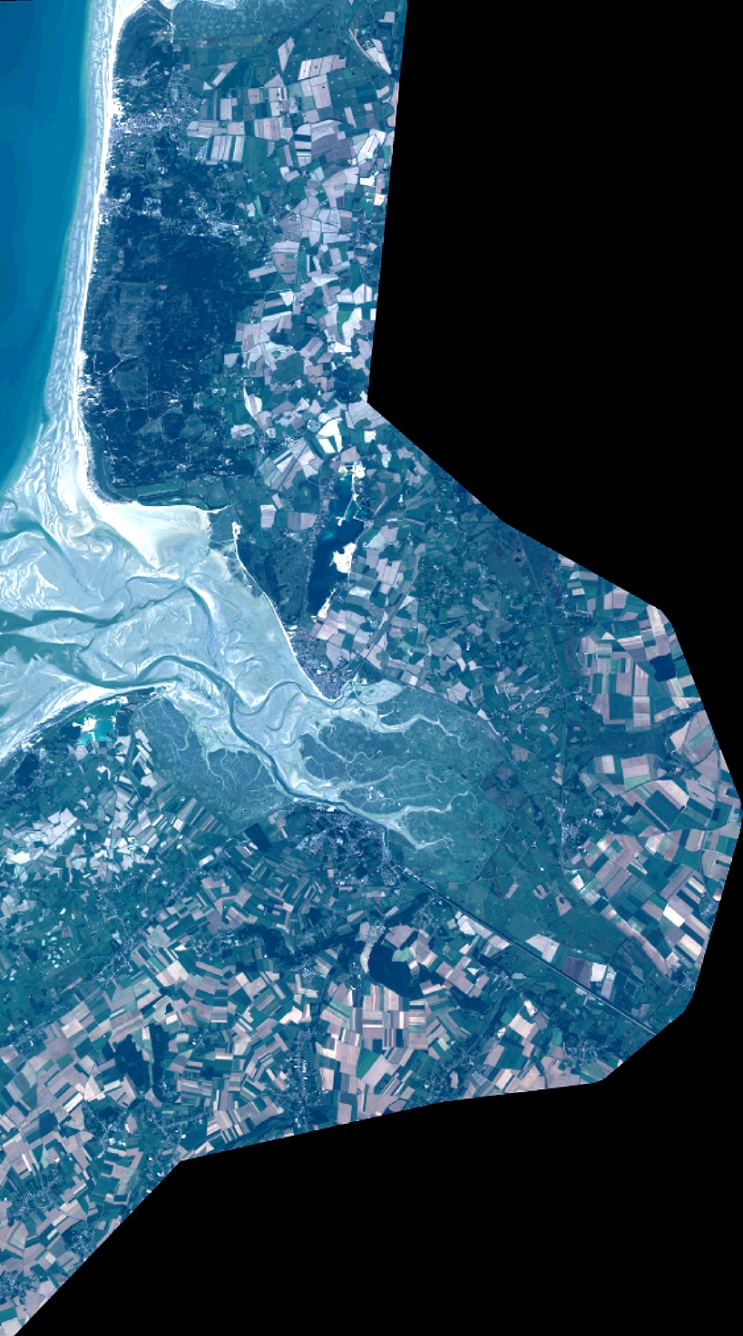
Image dimensions
Number of columns
9004
Number of rows
16208
Number of spectral bands
4
Dataset framing
Vertice
Longitude (DEG)
Latitude (DEG)
Row
Col
#1
1.512001064012255
50.3672493036106
1
#2
1.767417689807853
50.36683333697353
#3
1.766823792284834
50.07361791255133
#4
1.512737873046615
50.07433247320288
Dataset sources
PHR
Coordinate Reference System
Projected Coordinate System
Geocoding tables identification
EPSG(6.3)
Production
Production Date
2017-11-17T09:09:34.970
Job identification
2543204101-002
Dataset Producer Identification
AIRBUS DS GEO
Producer link
http://www.geo-airbusds.com
Quicklook
Copyright