TYPE:
SENSOR
LAYER:
DS_PHR1B_201708291106055_FR1_PX_E001N50_0602_02546
FORMAT:
DIMAP
RASTER:
image/jp2
General Information
Map Name
Geometric Processing Level
Radiometric Processing Level
BASIC
Image dimensions
Number of columns
39977
Number of rows
56752
Number of spectral bands
1
Dataset framing
Vertice
Longitude (DEG)
Latitude (DEG)
Row
Col
#1
1.276951015291231
50.20507908313134
#2
1.558058641425974
50.20505176213869
#3
1.557343596130553
49.95128332197743
#4
1.277506883331057
49.9515956705801
Dataset sources
PHR
Coordinate Reference System
Projected Coordinate System
Geocoding tables identification
EPSG(6.3)
Production
Production Date
2017-11-17T09:06:36.508
Job identification
2543203101-001
Dataset Producer Identification
AIRBUS DS GEO
Producer link
http://www.geo-airbusds.com
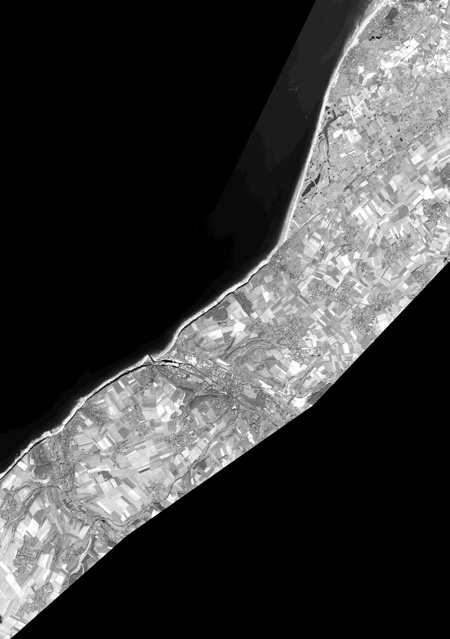
Quicklook
Copyright