TYPE:
SENSOR
LAYER:
DS_PHR1A_201708281114146_FR1_PX_W001N49_0408_01442
FORMAT:
DIMAP
RASTER:
image/jp2
General Information
Map Name
Geometric Processing Level
Radiometric Processing Level
BASIC
Image dimensions
Number of columns
39847
Number of rows
31994
Number of spectral bands
1
Dataset framing
Vertice
Longitude (DEG)
Latitude (DEG)
Row
Col
#1
-0.8506302222164706
49.38370951537534
#2
-0.5663046683614748
49.38862265667292
#3
-0.5667244907961376
49.23847504641818
#4
-0.8504821449673062
49.23409972432679
Dataset sources
PHR
Coordinate Reference System
Projected Coordinate System
Geocoding tables identification
EPSG(6.3)
Production
Production Date
2017-11-17T09:08:37.980
Job identification
2543206101-001
Dataset Producer Identification
AIRBUS DS GEO
Producer link
http://www.geo-airbusds.com
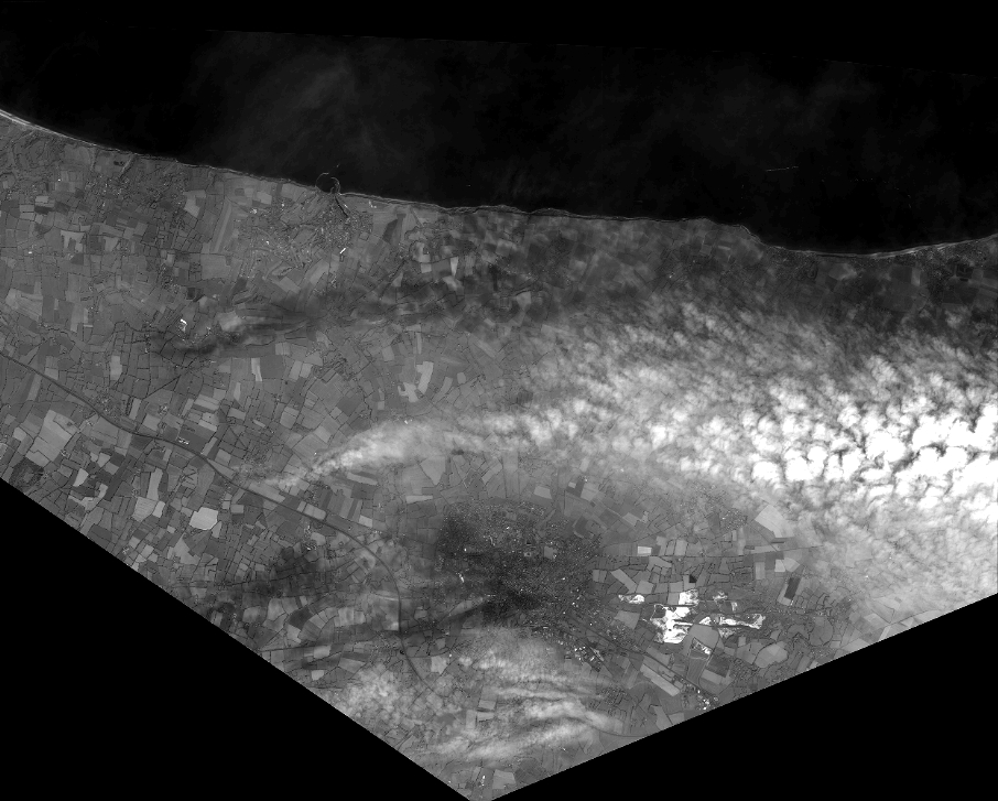
Quicklook
Copyright