TYPE:
SENSOR
LAYER:
DS_PHR1A_201708281114146_FR1_PX_W001N49_0408_01442
FORMAT:
DIMAP
RASTER:
image/jp2
General Information
Map Name
Geometric Processing Level
Radiometric Processing Level
BASIC
Image dimensions
Number of columns
9963
Number of rows
7999
Number of spectral bands
4
Dataset framing
Vertice
Longitude (DEG)
Latitude (DEG)
Row
Col
#1
-0.8506219029097259
49.38371238995677
1
#2
-0.5662819608699698
49.38862542014459
#3
-0.5667000892427019
49.23848259798672
#4
-0.850472169587362
49.23410737218838
Dataset sources
PHR
Coordinate Reference System
Projected Coordinate System
Geocoding tables identification
EPSG(6.3)
Production
Production Date
2017-11-17T09:08:22.364
Job identification
2543206101-002
Dataset Producer Identification
AIRBUS DS GEO
Producer link
http://www.geo-airbusds.com
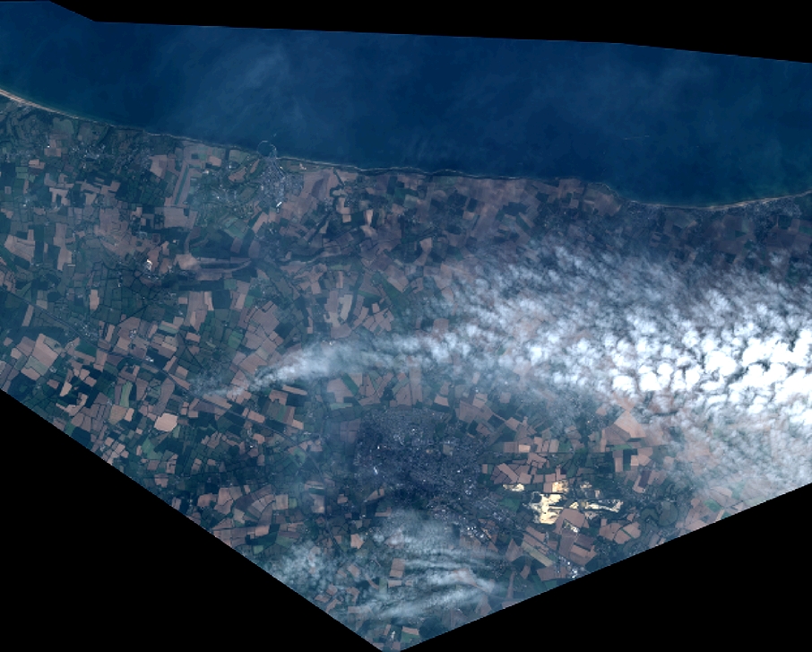
Quicklook
Copyright