TYPE:
SENSOR
LAYER:
DS_PHR1B_201708271121180_FR1_PX_W001N49_0109_01390
FORMAT:
DIMAP
RASTER:
image/jp2
General Information
Map Name
Geometric Processing Level
Radiometric Processing Level
BASIC
Image dimensions
Number of columns
39982
Number of rows
30728
Number of spectral bands
1
Dataset framing
Vertice
Longitude (DEG)
Latitude (DEG)
Row
Col
#1
-1.089721979699849
49.42303239452742
#2
-0.8003532879067004
49.41788909497004
#3
-0.8006134775735079
49.27497123831568
#4
-1.089806800766883
49.2809047785065
Dataset sources
PHR
Coordinate Reference System
Projected Coordinate System
Geocoding tables identification
EPSG(6.3)
Production
Production Date
2017-11-17T09:07:17.932
Job identification
2543207101-001
Dataset Producer Identification
AIRBUS DS GEO
Producer link
http://www.geo-airbusds.com
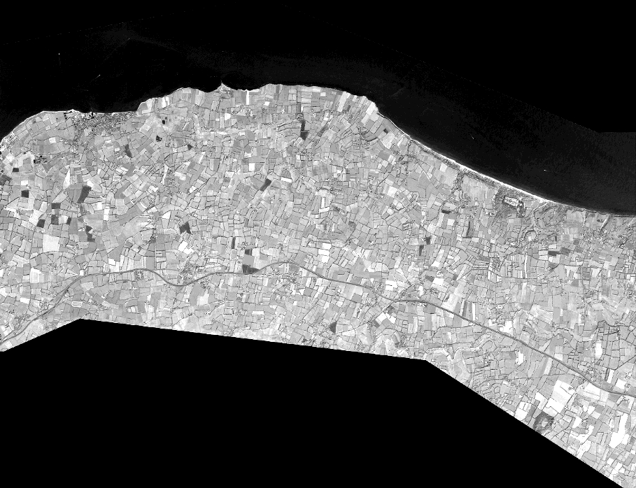
Quicklook
Copyright