TYPE:
SENSOR
LAYER:
DS_PHR1B_201708271121180_FR1_PX_W001N49_0109_01390
FORMAT:
DIMAP
RASTER:
image/jp2
General Information
Map Name
Geometric Processing Level
Radiometric Processing Level
BASIC
Image dimensions
Number of columns
9996
Number of rows
7682
Number of spectral bands
4
Dataset framing
Vertice
Longitude (DEG)
Latitude (DEG)
Row
Col
#1
-1.089711154508202
49.42302526098683
1
#2
-0.8003496191754286
49.41788202723079
#3
-0.8006098080905837
49.27497813451487
#4
-1.089795965292492
49.28091149534053
Dataset sources
PHR
Coordinate Reference System
Projected Coordinate System
Geocoding tables identification
EPSG(6.3)
Production
Production Date
2017-11-17T09:06:32.901
Job identification
2543207101-002
Dataset Producer Identification
AIRBUS DS GEO
Producer link
http://www.geo-airbusds.com
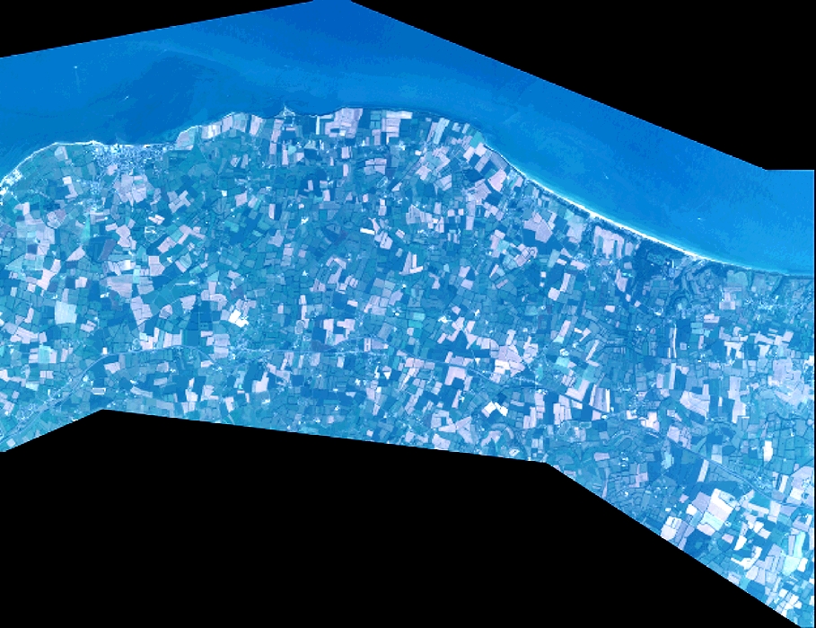
Quicklook
Copyright