TYPE:
SENSOR
LAYER:
DS_PHR1B_201705241103336_FR1_PX_W002N44_1117_01720
FORMAT:
DIMAP
RASTER:
image/jp2
General Information
Map Name
Geometric Processing Level
Radiometric Processing Level
BASIC
Image dimensions
Number of columns
39979
Number of rows
38156
Number of spectral bands
1
Dataset framing
Vertice
Longitude (DEG)
Latitude (DEG)
Row
Col
#1
-1.242325873900545
44.78942828515642
#2
-0.9840937564122691
44.79114024948397
#3
-0.984699840481894
44.61882277326117
#4
-1.241662149129911
44.61647350686633
Dataset sources
PHR
Coordinate Reference System
Projected Coordinate System
Geocoding tables identification
EPSG(6.3)
Production
Production Date
2019-09-13T13:11:37.787
Job identification
4499714101-001
Dataset Producer Identification
AIRBUS DS GEO
Producer link
http://www.geo-airbusds.com
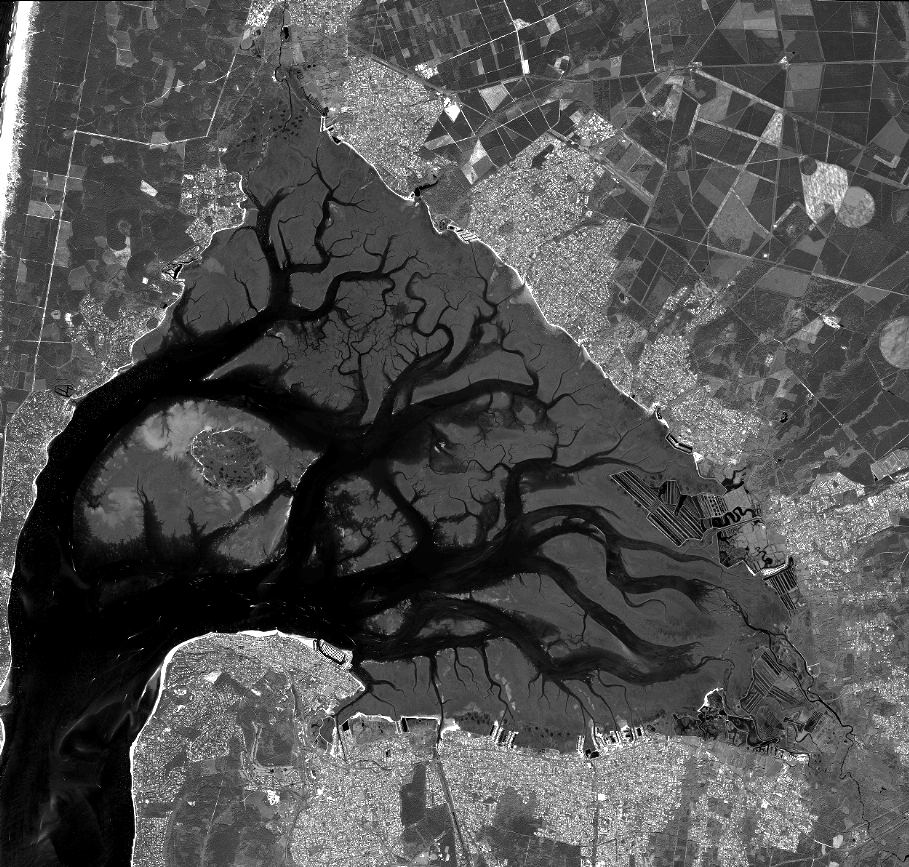
Quicklook
Copyright