TYPE:
SENSOR
LAYER:
DS_PHR1B_201705241103336_FR1_PX_W002N44_1117_01720
FORMAT:
DIMAP
RASTER:
image/jp2
General Information
Map Name
Geometric Processing Level
Radiometric Processing Level
BASIC
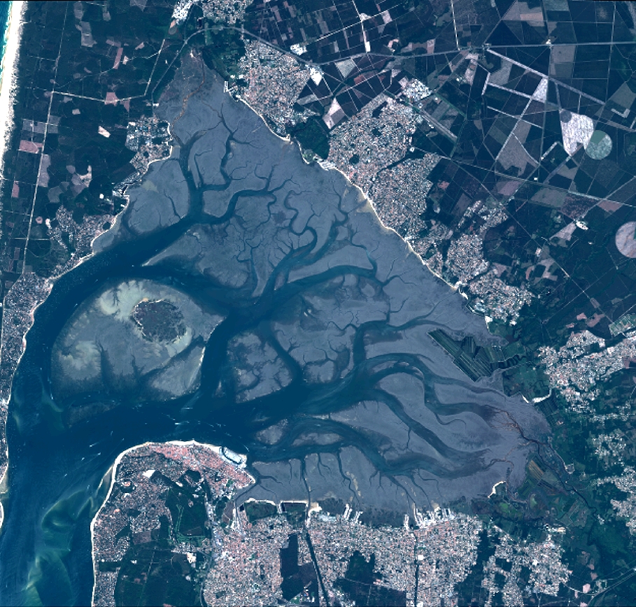
Image dimensions
Number of columns
9996
Number of rows
9539
Number of spectral bands
4
Dataset framing
Vertice
Longitude (DEG)
Latitude (DEG)
Row
Col
#1
-1.242317360703548
44.7894204999123
1
#2
-0.9840724271162352
44.79113334562929
#3
-0.9846777372653592
44.61882979428164
#4
-1.24165282540355
44.61647970211922
Dataset sources
PHR
Coordinate Reference System
Projected Coordinate System
Geocoding tables identification
EPSG(6.3)
Production
Production Date
2019-09-13T13:12:26.481
Job identification
4499714101-002
Dataset Producer Identification
AIRBUS DS GEO
Producer link
http://www.geo-airbusds.com
Quicklook
Copyright