TYPE:
SENSOR
LAYER:
DS_PHR1B_201704181040561_FR1_PX_E002N44_1204_01061
FORMAT:
DIMAP
RASTER:
image/jp2
General Information
Map Name
Geometric Processing Level
Radiometric Processing Level
BASIC
Image dimensions
Number of columns
28136
Number of rows
23233
Number of spectral bands
1
Dataset framing
Vertice
Longitude (DEG)
Latitude (DEG)
Row
Col
#1
2.902850103772499
44.20475903173471
#2
3.091056765237083
44.20198193870459
#3
3.089192252945883
44.09507655675973
#4
2.901638954140028
44.09723380514488
Dataset sources
PHR
Coordinate Reference System
Projected Coordinate System
Geocoding tables identification
EPSG(6.3)
Production
Production Date
2019-04-25T16:40:03.750
Job identification
4041673101-001
Dataset Producer Identification
AIRBUS DS GEO
Producer link
http://www.geo-airbusds.com
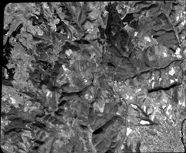
Quicklook
Copyright