TYPE:
SENSOR
LAYER:
DS_PHR1B_201612171119080_FR1_PX_W002N44_1118_01613
FORMAT:
DIMAP
RASTER:
image/jp2
General Information
Map Name
Geometric Processing Level
Radiometric Processing Level
BASIC
Image dimensions
Number of columns
38231
Number of rows
35748
Number of spectral bands
1
Dataset framing
Vertice
Longitude (DEG)
Latitude (DEG)
Row
Col
#1
-1.265113594581604
44.78851392357115
#2
-0.9810665155684413
44.80361873893951
#3
-0.9808009717128339
44.62618884541408
#4
-1.265555602497747
44.61296909014492
Dataset sources
PHR
Coordinate Reference System
Projected Coordinate System
Geocoding tables identification
EPSG(6.3)
Production
Production Date
2019-09-13T13:12:14.761
Job identification
4499715101-001
Dataset Producer Identification
AIRBUS DS GEO
Producer link
http://www.geo-airbusds.com
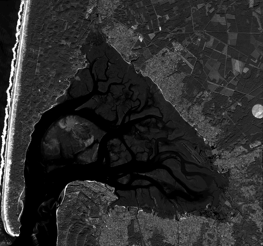
Quicklook
Copyright