TYPE:
SENSOR
LAYER:
DS_PHR1A_201610151103310_FR1_PX_W002N44_1118_01646
FORMAT:
DIMAP
RASTER:
image/jp2
General Information
Map Name
Geometric Processing Level
Radiometric Processing Level
BASIC
Image dimensions
Number of columns
39814
Number of rows
36604
Number of spectral bands
1
Dataset framing
Vertice
Longitude (DEG)
Latitude (DEG)
Row
Col
#1
-1.243843227275204
44.79136951062178
#2
-0.987392618868109
44.79208885687651
#3
-0.9880541828523659
44.62755071265602
#4
-1.243311833286908
44.62625858550699
Dataset sources
PHR
Coordinate Reference System
Projected Coordinate System
Geocoding tables identification
EPSG(6.3)
Production
Production Date
2019-09-13T13:09:25.902
Job identification
4499716101-001
Dataset Producer Identification
AIRBUS DS GEO
Producer link
http://www.geo-airbusds.com
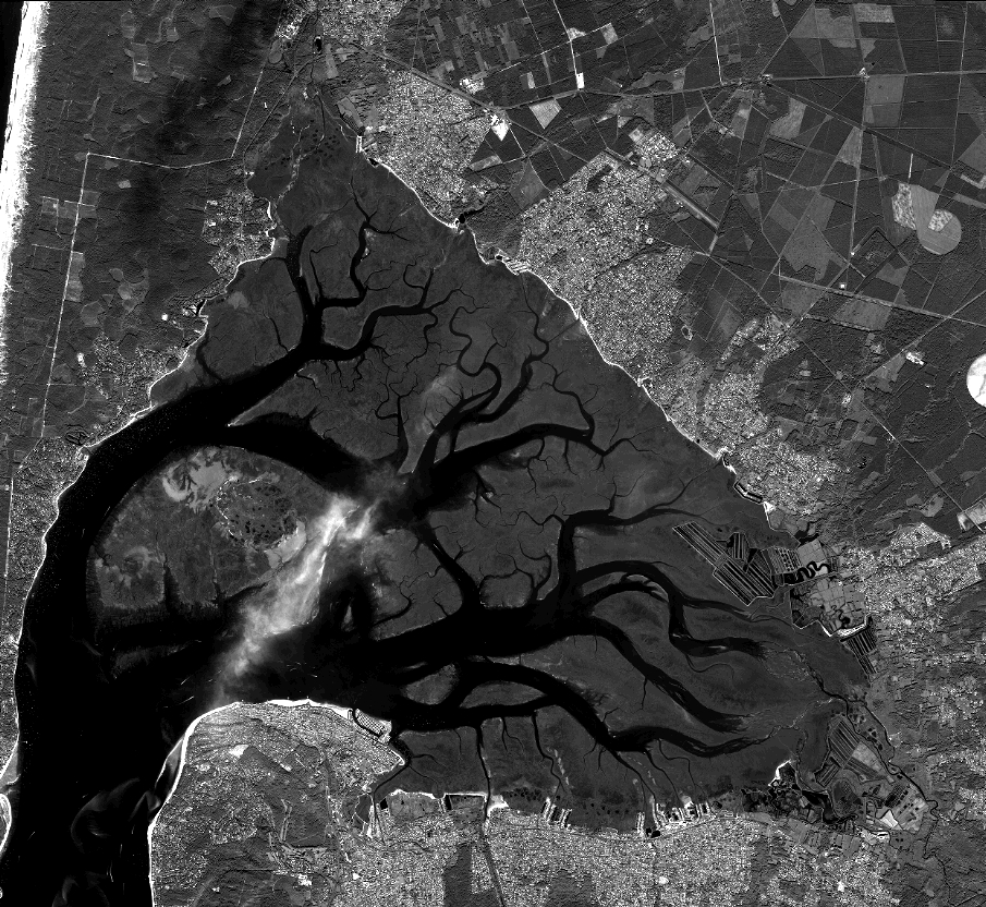
Quicklook
Copyright