TYPE:
SENSOR
LAYER:
DS_PHR1B_201405141437046_FR1_PX_W060N13_0603_00818
FORMAT:
DIMAP
RASTER:
image/jp2
General Information
Map Name
Geometric Processing Level
Radiometric Processing Level
BASIC
Image dimensions
Number of columns
29991
Number of rows
17852
Number of spectral bands
1
Dataset framing
Vertice
Longitude (DEG)
Latitude (DEG)
Row
Col
#1
-59.64404904658024
13.14262969775455
#2
-59.49961029713389
13.14370190489365
#3
-59.49961799736784
13.0551419033485
#4
-59.64406198977128
13.05449834509997
Dataset sources
PHR
Coordinate Reference System
Projected Coordinate System
Geocoding tables identification
EPSG(6.3)
Production
Production Date
2018-12-13T12:09:26.028
Job identification
3613283101-001
Dataset Producer Identification
AIRBUS DS GEO
Producer link
http://www.geo-airbusds.com
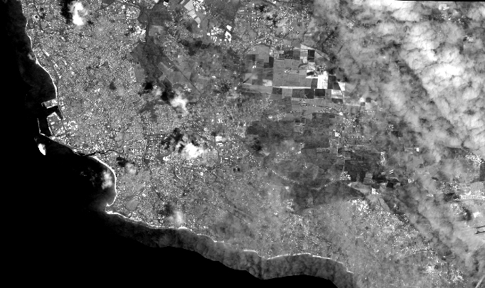
Quicklook
Copyright