TYPE:
SENSOR
LAYER:
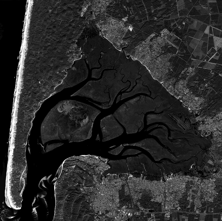
DS_PHR1B_201312041100546_FR1_PX_W002N44_1117_01797
FORMAT:
DIMAP
RASTER:
image/jp2
General Information
Map Name
Geometric Processing Level
Radiometric Processing Level
BASIC
Image dimensions
Number of columns
39984
Number of rows
39888
Number of spectral bands
1
Dataset framing
Vertice
Longitude (DEG)
Latitude (DEG)
Row
Col
#1
-1.270501942361066
44.79637510336457
#2
-1.004682732460405
44.78995315977329
#3
-1.005792814937309
44.60545573324092
#4
-1.269964585083574
44.61119962141988
Dataset sources
PHR
Coordinate Reference System
Projected Coordinate System
Geocoding tables identification
EPSG(6.3)
Production
Production Date
2019-09-13T13:14:01.379
Job identification
4499719101-001
Dataset Producer Identification
AIRBUS DS GEO
Producer link
http://www.geo-airbusds.com
Quicklook
Copyright