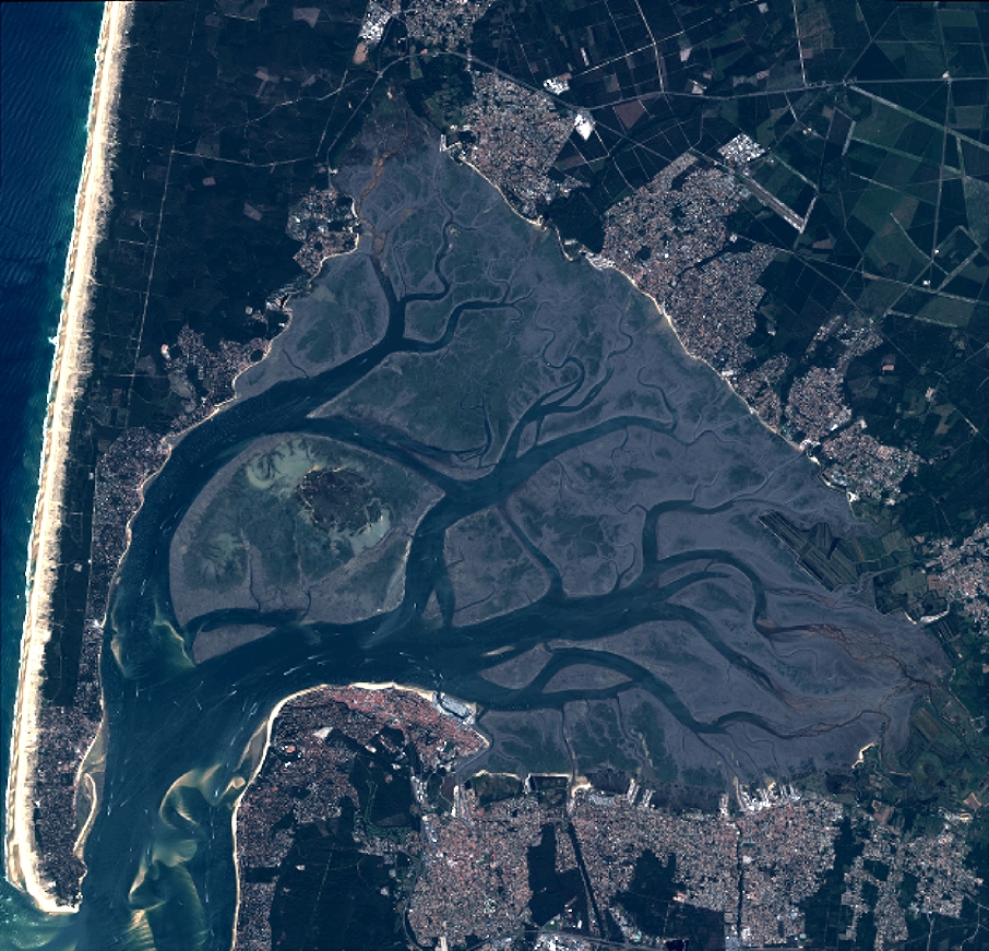
TYPE:
SENSOR
LAYER:
DS_PHR1A_201308211107209_FR1_PX_W002N44_1117_01722
FORMAT:
DIMAP
RASTER:
image/jp2
General Information
Map Name
Geometric Processing Level
Radiometric Processing Level
BASIC
Image dimensions
Number of columns
9958
Number of rows
9579
Number of spectral bands
4
Dataset framing
Vertice
Longitude (DEG)
Latitude (DEG)
Row
Col
#1
-1.26572812882806
44.79133573942415
1
#2
-1.008419708301391
44.79298860859379
#3
-1.008879267148509
44.61536392664337
#4
-1.265286199153707
44.6135136370203
Dataset sources
PHR
Coordinate Reference System
Projected Coordinate System
Geocoding tables identification
EPSG(6.3)
Production
Production Date
2019-09-13T13:10:35.641
Job identification
4499720101-002
Dataset Producer Identification
AIRBUS DS GEO
Producer link
http://www.geo-airbusds.com
Quicklook
Copyright