TYPE:
SENSOR
LAYER:
DS_PHR1A_201207021827552_SE1_PX_W118N35_0822_01319
FORMAT:
DIMAP
RASTER:
image/jp2
General Information
Map Name
Geometric Processing Level
Radiometric Processing Level
BASIC
Image dimensions
Number of columns
19947
Number of rows
28888
Number of spectral bands
1
Dataset framing
Vertice
Longitude (DEG)
Latitude (DEG)
Row
Col
#1
-117.4390581094045
35.68128914888921
#2
-117.2944101293221
35.66358898997427
#3
-117.2916063504307
35.50505654453475
#4
-117.4361112982263
35.5219871124437
Dataset sources
PHR
Coordinate Reference System
Projected Coordinate System
Geocoding tables identification
EPSG(6.3)
Production
Production Date
2019-09-20T10:05:07.764
Job identification
4517062101-001
Dataset Producer Identification
AIRBUS DS GEO
Producer link
http://www.geo-airbusds.com
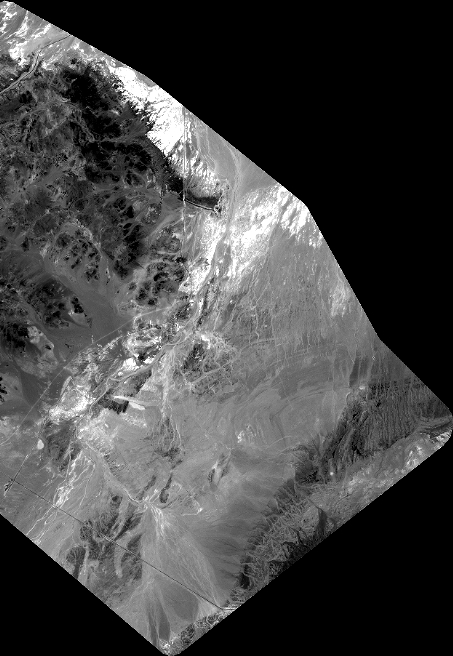
Quicklook
Copyright