TYPE:
SENSOR
LAYER:
DS_PHR1A_201207021827552_SE1_PX_W118N35_0822_01319
FORMAT:
DIMAP
RASTER:
image/jp2
General Information
Map Name
Geometric Processing Level
Radiometric Processing Level
BASIC
Image dimensions
Number of columns
4988
Number of rows
7223
Number of spectral bands
4
Dataset framing
Vertice
Longitude (DEG)
Latitude (DEG)
Row
Col
#1
-117.4390481011287
35.68128420102545
1
#2
-117.2943855135761
35.66358178908962
#3
-117.2915819927968
35.50504404957373
#4
-117.4361010337521
35.52197647315362
Dataset sources
PHR
Coordinate Reference System
Projected Coordinate System
Geocoding tables identification
EPSG(6.3)
Production
Production Date
2019-09-20T10:05:09.050
Job identification
4517062101-002
Dataset Producer Identification
AIRBUS DS GEO
Producer link
http://www.geo-airbusds.com
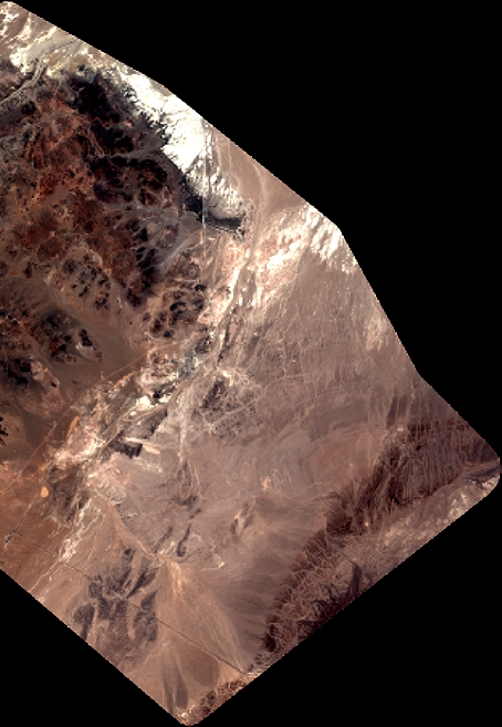
Quicklook
Copyright