TYPE:
SENSOR
LAYER:
DS_PHR1A_201206231846279_FR1_PX_W118N35_0720_03528
FORMAT:
DIMAP
RASTER:
image/jp2
General Information
Map Name
Geometric Processing Level
Radiometric Processing Level
BASIC
Image dimensions
Number of columns
39951
Number of rows
78607
Number of spectral bands
1
Dataset framing
Vertice
Longitude (DEG)
Latitude (DEG)
Row
Col
#1
-117.607648123841
35.87824818522211
#2
-117.3798671634743
35.88384272536482
#3
-117.3785802049931
35.51621339281242
#4
-117.60631591364
35.5113266339935
Dataset sources
PHR
Coordinate Reference System
Projected Coordinate System
Geocoding tables identification
EPSG(6.3)
Production
Production Date
2019-09-20T10:13:58.222
Job identification
4517063101-001
Dataset Producer Identification
AIRBUS DS GEO
Producer link
http://www.geo-airbusds.com
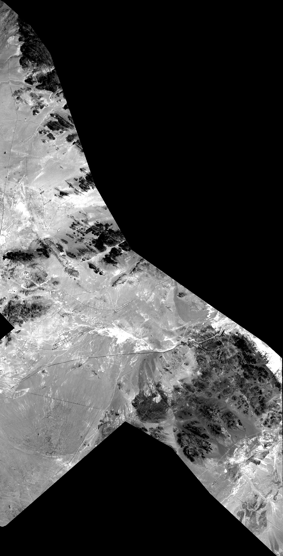
Quicklook
Copyright