TYPE:
SENSOR
LAYER:
DS_PHR1A_201206231846279_FR1_PX_W118N35_0720_03528
FORMAT:
DIMAP
RASTER:
image/jp2
General Information
Map Name
Geometric Processing Level
Radiometric Processing Level
BASIC
Image dimensions
Number of columns
9989
Number of rows
19652
Number of spectral bands
4
Dataset framing
Vertice
Longitude (DEG)
Latitude (DEG)
Row
Col
#1
-117.6076402164417
35.87824269621642
1
#2
-117.3798472724514
35.88383752546132
#3
-117.3785609477782
35.51621581948992
#4
-117.606307840815
35.51132987358397
Dataset sources
PHR
Coordinate Reference System
Projected Coordinate System
Geocoding tables identification
EPSG(6.3)
Production
Production Date
2019-09-20T10:12:48.516
Job identification
4517063101-002
Dataset Producer Identification
AIRBUS DS GEO
Producer link
http://www.geo-airbusds.com
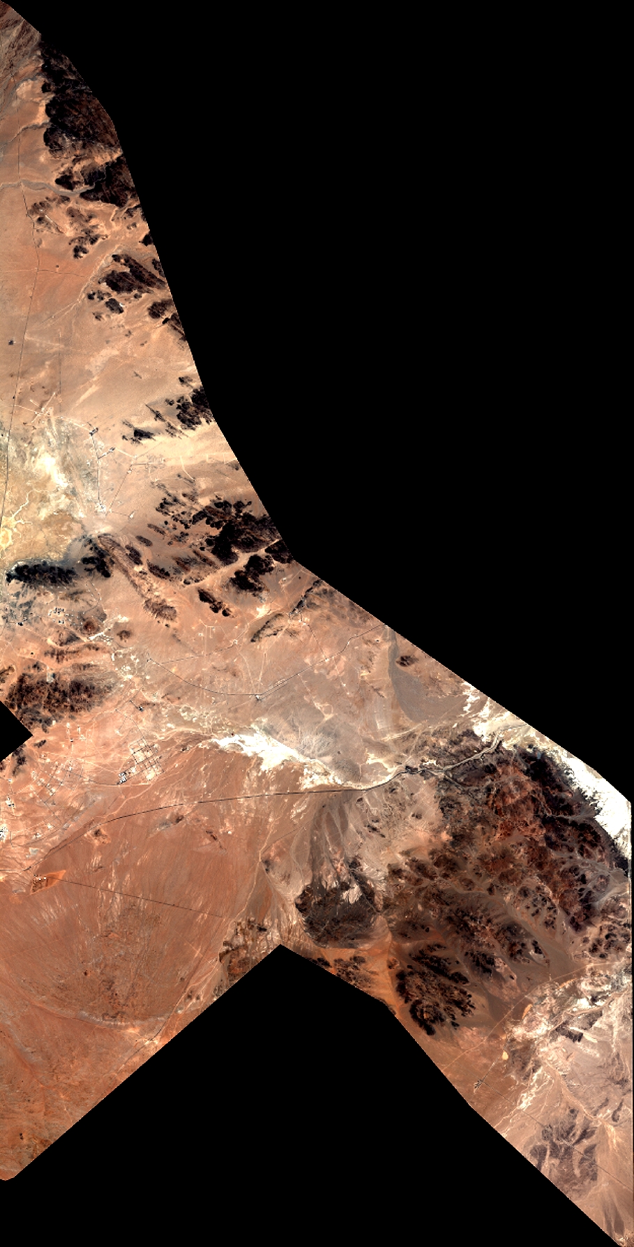
Quicklook
Copyright