TYPE:
SENSOR
LAYER:
DS_PHR1A_201206231845554_SE1_PX_W118N35_0515_01840
FORMAT:
DIMAP
RASTER:
image/jp2
General Information
Map Name
Geometric Processing Level
Radiometric Processing Level
BASIC
Image dimensions
Number of columns
4996
Number of rows
10243
Number of spectral bands
4
Dataset framing
Vertice
Longitude (DEG)
Latitude (DEG)
Row
Col
#1
-117.6927806143586
35.71743063966314
1
#2
-117.581450009828
35.71726403307041
#3
-117.581792607714
35.53120963085992
#4
-117.6928644752749
35.5315420149081
Dataset sources
PHR
Coordinate Reference System
Projected Coordinate System
Geocoding tables identification
EPSG(6.3)
Production
Production Date
2019-09-20T10:05:45.256
Job identification
4517064101-002
Dataset Producer Identification
AIRBUS DS GEO
Producer link
http://www.geo-airbusds.com
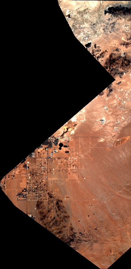
Quicklook
Copyright