TYPE:
SENSOR
LAYER:
DS_PHR1A_201205281845034_FR1_PX_W118N36_0409_02217
FORMAT:
DIMAP
RASTER:
image/jp2
General Information
Map Name
Geometric Processing Level
Radiometric Processing Level
BASIC
Image dimensions
Number of columns
39865
Number of rows
49205
Number of spectral bands
1
Dataset framing
Vertice
Longitude (DEG)
Latitude (DEG)
Row
Col
#1
-117.8231375150215
35.99297129487692
#2
-117.5619045451146
36.01306425269641
#3
-117.560726553063
35.70006975413372
#4
-117.8218639381382
35.6813700106195
Dataset sources
PHR
Coordinate Reference System
Projected Coordinate System
Geocoding tables identification
EPSG(6.3)
Production
Production Date
2019-09-20T10:10:50.426
Job identification
4517065101-001
Dataset Producer Identification
AIRBUS DS GEO
Producer link
http://www.geo-airbusds.com
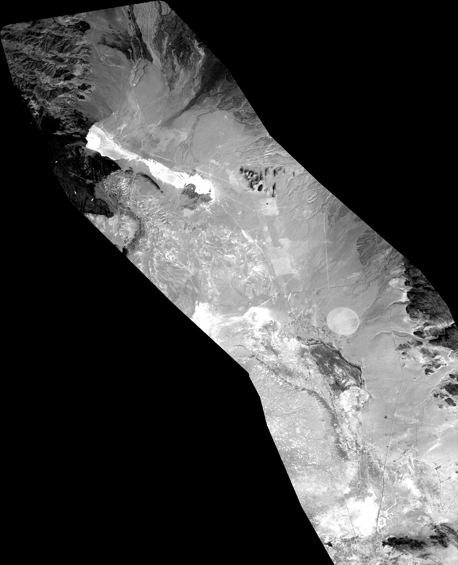
Quicklook
Copyright